Site Investigation & Thrust Bore Planning
Atlas Bore Planner®
The Atlas Bore Planner® software system allows our engineers to plan and visualise a bore path before drilling.
A detailed terrain plan is entered into the software either manually, or by using a system of lasers where the engineer in the field walks the approximate path of the bore. A computer then decodes the information received from the sensors and converts it into a terrain plan.
Utilities and other underground services, rivers, lakes, roads, railways etc, are all added to the bore plan, and the engineer is able to specify the exclusion zone around these utilities.
When the software has all the information it needs, it calculates the bore path. The software will not allow the exclusion zones around underground services to be entered, nor will it allow the bend radius of the rods to be exceeded.
When the planning stage is complete, the bore plan and drilling details can be printed. These include detailed instructions including the precise angle of each rod
NAVTEC
The NAVTEC computer-aided steering system works in tough steering conditions using pre-set parameters like clock-face sweep and thrust/rotation pressure. NAVTEC provides steering in demanding ground conditions where conventional thrust steering is not possible.
Topographical Surveying
Topographical surveying is an important preparation tool to ensure an accurate bore as it calculates detailed information essential for understanding the complexity of individual crossings and the equipment needed for each installation.
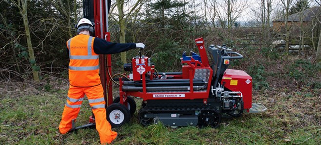
Ground Investigation
Ground conditions are a significant source of risk to all construction projects, particularly when assessing the feasibility and the planning of a thrust bore. Working closely in conjunction with an independent geotechnical and environmental consultancy, Chiltern Thrust Bore can identify geotechnical engineering hazards and subsequently find the solutions to minimise installation risks.
With a full and comprehensive understanding of the ground conditions on a particular site, our technical team is able to access feasibility and to select equipment/methodology best suited to complete the installation(s).